September 2019 – August 2020
Karratha Tom Price Road – Stage 3
Project Overview
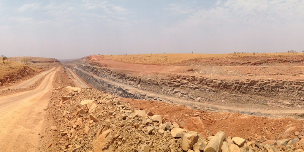
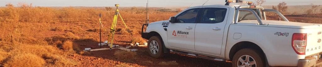
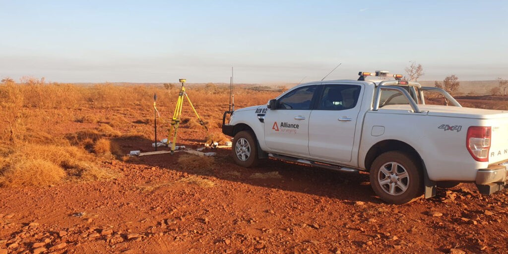
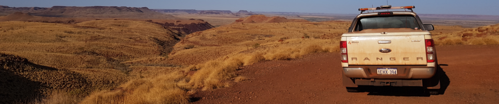
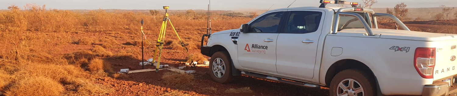
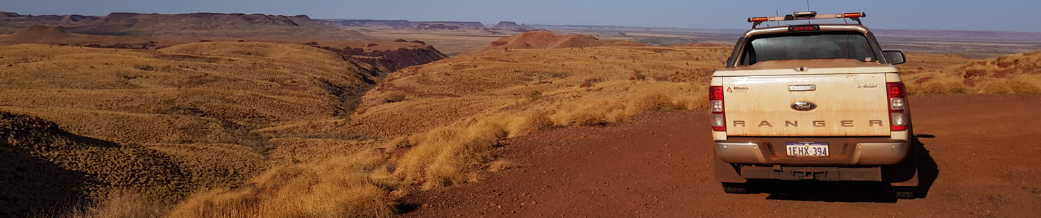
Alliance Surveying was contracted to deliver comprehensive daily surveying services for the Stage 3 upgrade of the Karratha-Tom Price Road, the critical Manuwarra Red Dog Highway link through the Pilbara. The 48 km works included sealing, pavement reconstruction, and installation of drainage infrastructure to enhance safety, reduce wet-season closures, and facilitate access to Millstream National Park.
Our role involved managing control networks, set-out and as-built surveys, volume calculations, and ongoing progression tracking. This project demonstrates our capabilities as a leading survey company in regional WA, delivering accurate and timely results in remote environments.
Key aspects of the project include:
Technologies & Deliverables
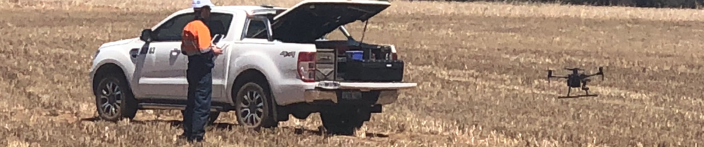
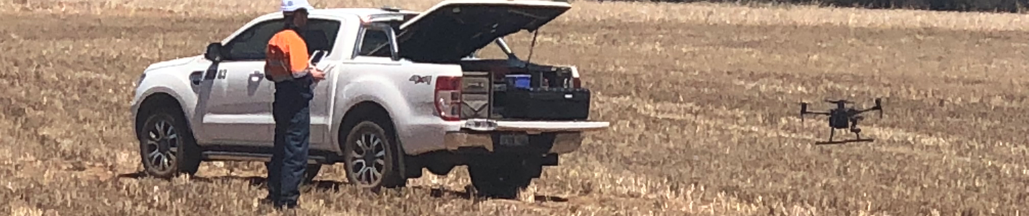
We leveraged advanced surveying technologies to ensure precision and efficiency:
Key Challenges & Our Approach
- Remote, large-scale operations: The project’s 48 km length and Pilbara setting required significant logistical coordination, including mobilising our in-house team without outsourcing.
- Weather/disruption resilience: Our surveys accounted for cyclone damage, including flood recovery after Cyclone Damien in early 2020.
- Indigenous and heritage compliance: The upgrade followed strict environmental and cultural protocols, aligning with EPA directives and heritage site guidelines.
- Maintaining traffic safety: While supporting continuous public access, we used detour coordination and precision control points to ensure minimal disruption.
Outcomes & Benefits
- Logistical stability: We began project delivery within 7 days of award, adhering to our swift project start commitment.
- On-schedule progress: Despite disruptions from Cyclone Damien, Stage 3 reached completion in August 2020 as planned.
- Unwavering cost integrity: All deliverables were delivered at a fixed price, with no additional client charges.
- In-house execution: Led by licensed surveyors and supported by our WA-based field staff, drafters, and technical professionals, with no outsourcing required.
Gallery



Ready to Discuss Your Project?
If you’re planning a regional road, infrastructure, or civil development project in Western Australia, Alliance Surveying brings proven technical precision, in-house reliability, and project-ready experience.
Visit our Contact Us page today to request a free project appraisal and quote. Our team will respond within 48 hours and schedule your project start within 7 days.
Why Alliance Surveying?
Fast Turnaround:
All quotes are delivered within 2 days, guaranteed.
Swift Project Start:
Job commencement is guaranteed within 7 days of approval, so your project won’t face delays.
Transparent Pricing:
Our quotes are fixed; if unexpected costs arise, we cover the difference, ensuring no surprise charges.
Fully In-House Team:
We never outsource. Every step of your survey is handled by our own team of 30 experienced professionals.