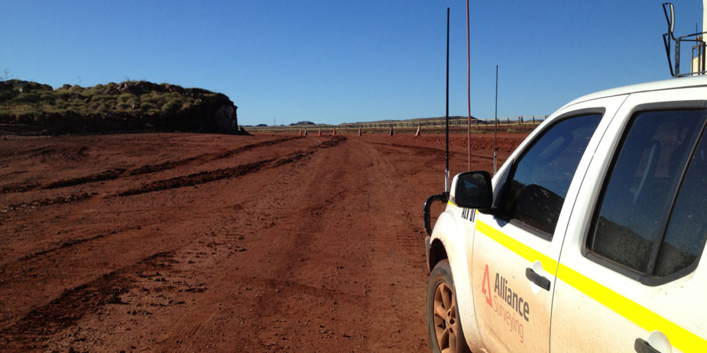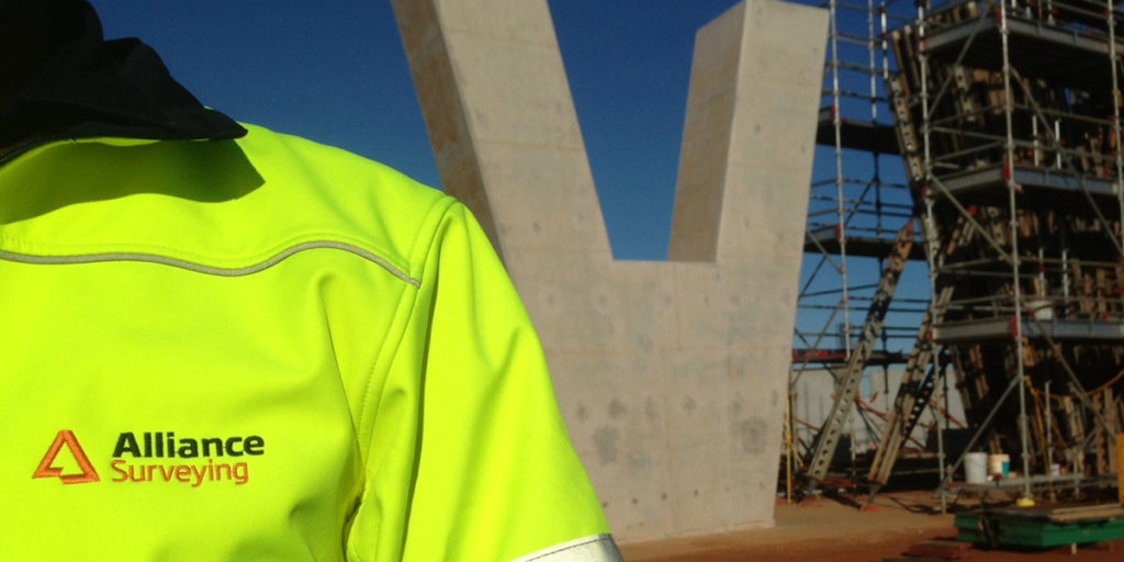
As a licensed land survey company, we service a variety of sectors across Perth and regional WA:
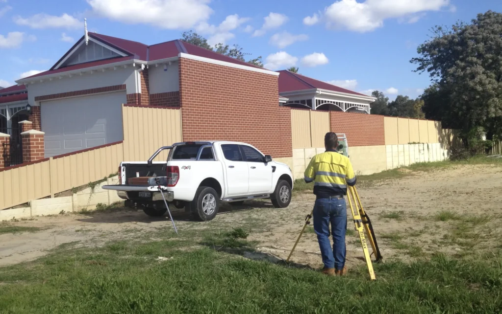
Cadastral and Residential Services.
Including boundary re-pegs, feature surveys, and building set-outs.
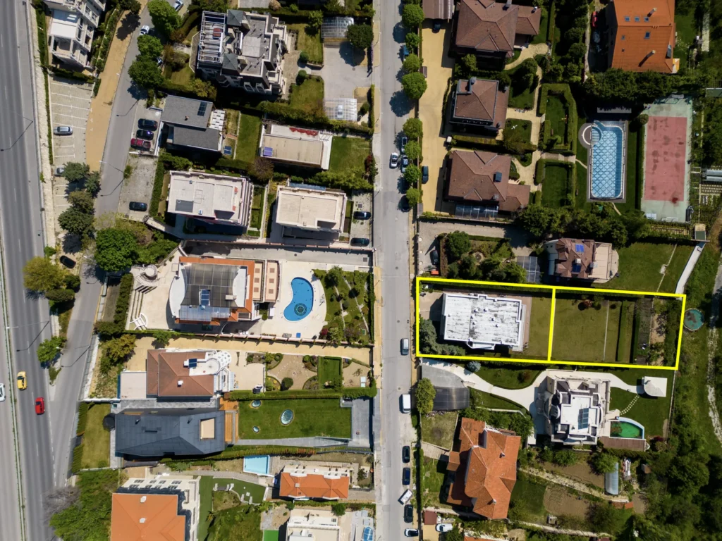
Subdivisions and Land Development.
From green-title and strata planning to community title support.
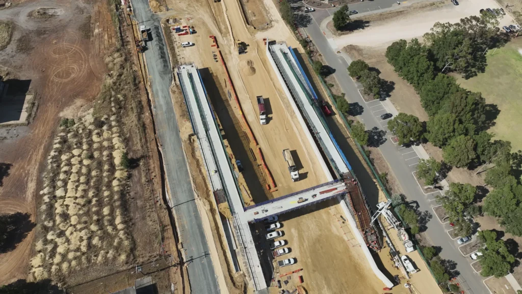
Construction & Infrastructure:
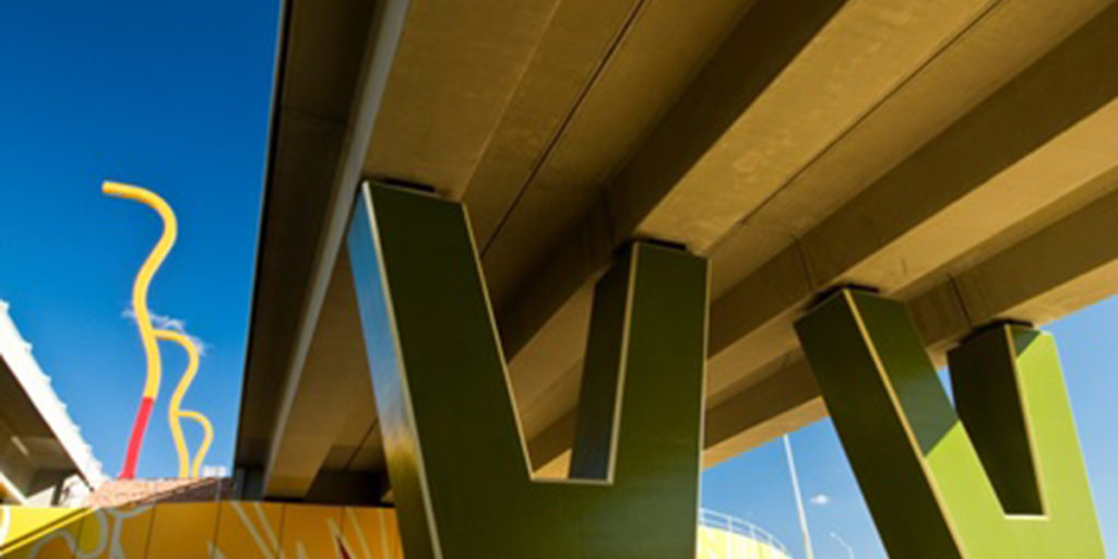
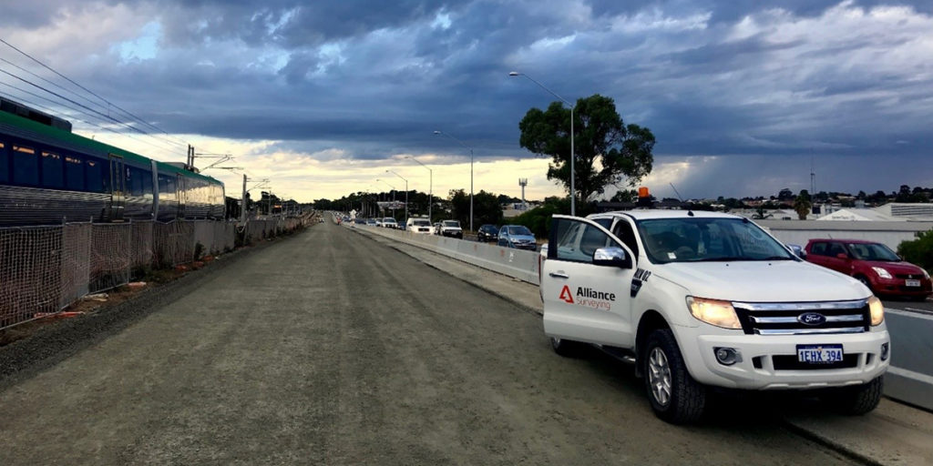
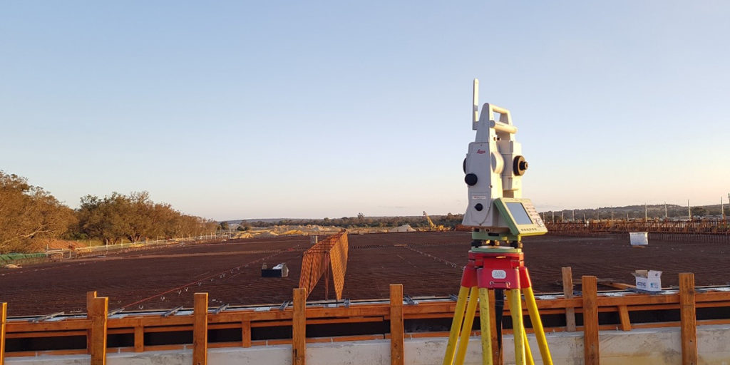
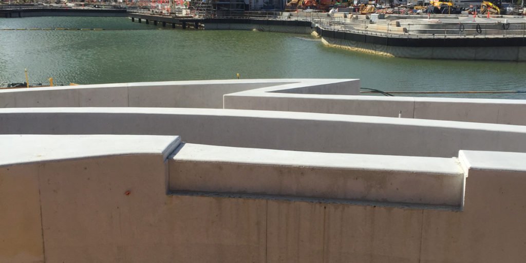
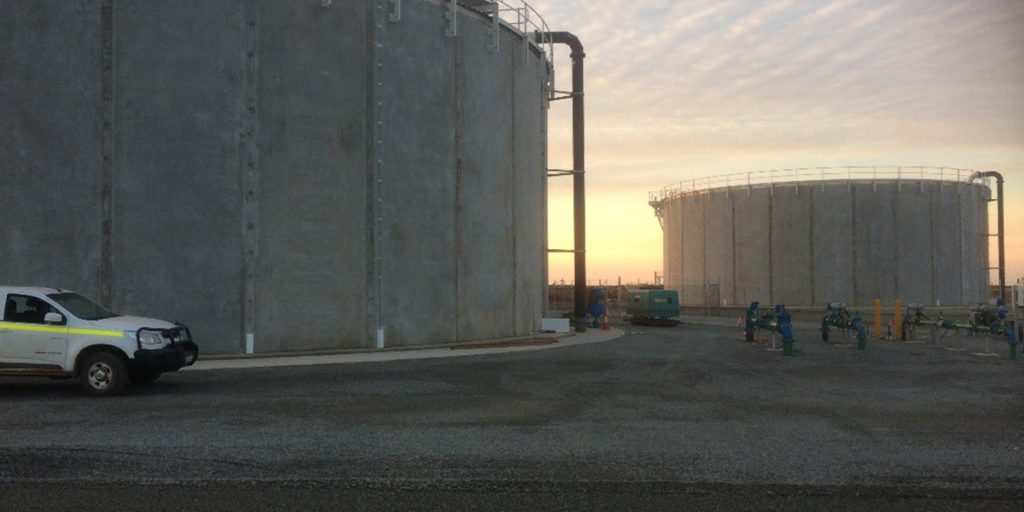
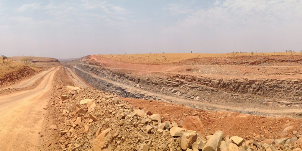
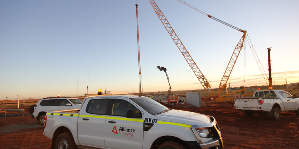
For roads, rail, water, marine, and mining projects requiring set-out, verification, and as-built documentation.
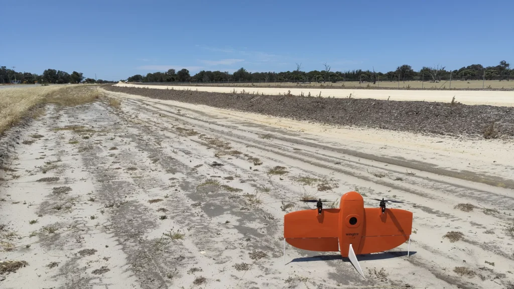
UAV and Drone Surveys.
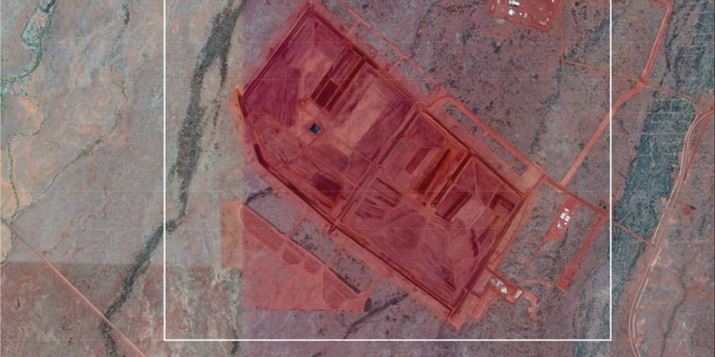
High-resolution aerial mapping, orthomosaics, volume calculations, progress tracking, and asset inspections.
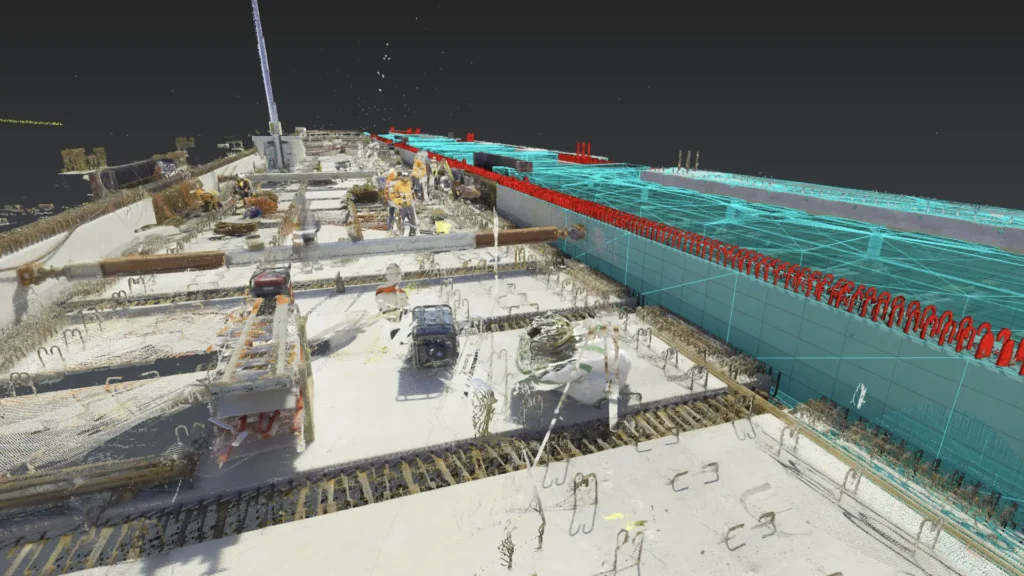
3D Laser Scanning & Reality Capture:
Point-cloud capture, digital twins, LiDAR analysis, and reverse engineering.
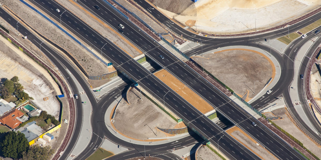
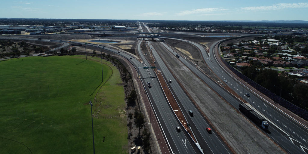
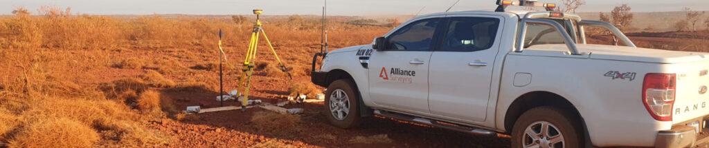
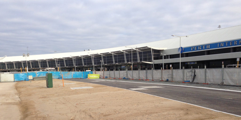
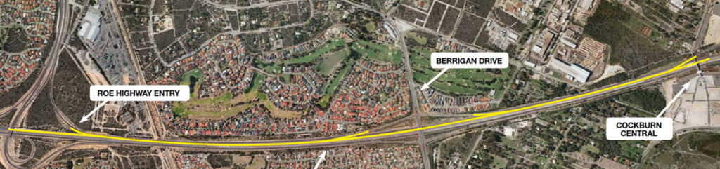
Our licensed surveyors have delivered accurate services for some of Western Australia’s largest infrastructure projects, including the Northlink WA corridor, Perth Airport Drive, and the Roy Hill Rail Project.
Our Team
Our mission is to provide professional surveying services that support the construction industry, land developers, and the wider community through:
At the heart of Alliance Surveying are our directors and licensed surveyors:
- Stephen Marevic, CPS (Eng): With over 17 years of experience, Stephen excels in construction, marine works, and earthworks, supervising multiple teams and large-scale projects.
- Scott Pollard, CPS (Eng): A highly capable leader with more than 20 years of industry experience, adept in tender preparation, machine control, and multidisciplinary site management.
They are supported by a broader team of skilled field staff, drafters, and administrative professionals who together ensure every client receives reliable service and exceptional outcomes.
Why Alliance Surveying?
We stand apart from other survey companies in Perth through our unwavering commitment to quality, speed, and transparency:
Fast Turnaround:
All quotes are delivered within 2 days, guaranteed.
Swift Project Start:
Job commencement is guaranteed within 7 days of approval, so your project won’t face delays.
Transparent Pricing:
Our quotes are fixed; if unexpected costs arise, we cover the difference, ensuring no surprise charges.
Fully In-House Team:
We never outsource. Every step of your survey is handled by our own team of 30 experienced professionals.
Frequently Asked Questions
Partnerships
Since 2012, we have forged close, mutually beneficial partnerships with our clients and suppliers. Our clients trust us with complex projects, knowing that we will complete them safely, efficiently, and accurately every time.
Ready to partner with WA’s leading surveying company?
Contact our team today through our Contact Us page to discuss your project, receive a fixed-price quote, and schedule your survey start date.
Clients







Suppliers and Technology Partners
We achieve outstanding results by staying at the forefront of technological advancements and leveraging the best and latest technology. Our partners have supported us on this journey.
12d Model and 12d Synergy
Alliance Surveying exclusively uses 12d Model and 12d Field for all our operational needs. We capture and store complex and valuable data, and we trust 12d Synergy as our Common Data Environment.
12d Model: Civil Engineering, Water Engineering & Land Surveying Software Made Easy in 3D
12d Synergy: Common Data Environment for Engineering & Construction